Walking in Pakistan: Journey to the Roof Of The World
Walking in Pakistan: Journey to the Roof Of The World: Northwest Pakistan, home to some of the highest mountains on the planet, serves as the location for this epic trip inside the hall of the gods. Aside from its impressive collection of summits, many of which rise above 7,000 meters, the region is home to a smattering of colorful ethnic clans, remote mountain villages, and some of the world's most visually spectacular trekking country, making for an adventure to rival the spectacle of the gods themselves.
Itinerary
The Itinerary for Walking in Pakistan: Journey to the Roof Of The World is given below
Day 02: Fly to Skardu
Our journey begins today with a breathtaking flight through the high mountains of Karakoram to Skardu. Weather permitting, there may be possibilities to grab some incredibly stunning views of Nanga Parbat (8,126m) throughout the journey. Since the airport was rebuilt by the military, Skardu has served as the starting point for many expeditions into the high mountains of the Karakoram, and it has a distinct personality. This afternoon, we should be able to visit the K2 Museum, which houses the renowned images shot by Vittorio Sella in 1909, followed by a walk around town.
Day 03: Drive to Khaplu
The Khaplu Valley, a stunning drive along the flowing stream of the River Shyok, is our gateway into the spectacular highlands of the Hushe ranges. Khaplu, located 103 km east of Skardu, previously guarded the ancient trade route into nearby Ladakh. It is home to the Chaqchan Mosque, one of the region's largest and oldest mosques, which is thought to have been built 700 years ago by the first Islamic preacher to arrive in what was then a largely Buddhist stronghold.
Day 04: Drive to Hushe Valley
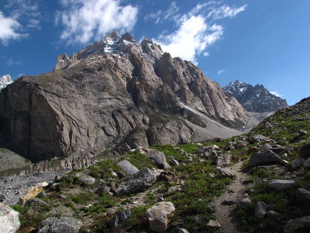
Turning north this morning, we wind our way through the lovely Hushe Valley and into the heart of the iconic Karakoram peaks. This region contains some of the highest and most spectacular peaks in the country, including the beautiful Haldi Cones formation and the typical granite towers of the Nangma Valley, stretching from the Shyok River opposite Khaplu up to Masherbrum (7,821m).
Day 05: Trek to Hushe
Today's GPS Data Altitude: 3,350m
Duration: 5-6 hours approximately
Ascent: 305m
Descent: 305m
To aid acclimatization, our first walk of the vacation is a rather easy one with moderate heights. Starting from Hushe, we'll walk through fields at the base of the mighty Masherbrum (7,821m), across alpine meadows with juniper trees, and arrive at Siacho Camp, a welcome refuge for those who have spent more than a week in harsher environments on expeditions into the higher reaches of the Karakoram range. If time allows, we will walk further towards Gondogoro Camp; otherwise, we will return to Hushe by retracing our steps.
Day 06: Trek to Hushe
Today's GPS Data Altitude: 4,100m
Time Required: 7-8 hours approximately
Ascent: 1,055 meters
Descent: 1,055 metres
This morning, we started down the trail that goes to the summer pasturelands of Dumsum before branching off into the Humbrok Valley. Our trek takes us through a panorama of towering vistas, with the Humbrok Peak (6459m) and, if the weather gods are kind, the even higher mountains of Gasherbrum I (8,080m), Gasherbrum II (8,035m), and possibly K-2 (8,611m) laid out before us. It may take us 7-8 hours round trip (depending on how far up the valley we go). Return to the camp for the night.
Day 07: Drive to Skardu following Thalle Valley then thek to Dabla Khan Camp
Today's GPS Data Elevation: 3,820m
Time Required: 4-5 hours approximately
Ascent: 560m
Descent: 0m
After breakfast, we drove back towards Skardu, crossing the Shyok River at Daghoni and then following the Thalle Valley through a landscape of remote villages and cultivated fields of barley, corn, and potatoes to Olmo, the highest summer settlement on the Thalle side, and finally to the end of the road at Thalley Bloq. From here, we'll begin our trip to Dabla Khan through a moderate elevation.
Day 08: Trek to Thalle La
Today's GPS Data Altitude: 4,180m
Time Required: 6-7 hours approximately
Ascent: 360m
Descent: 0m
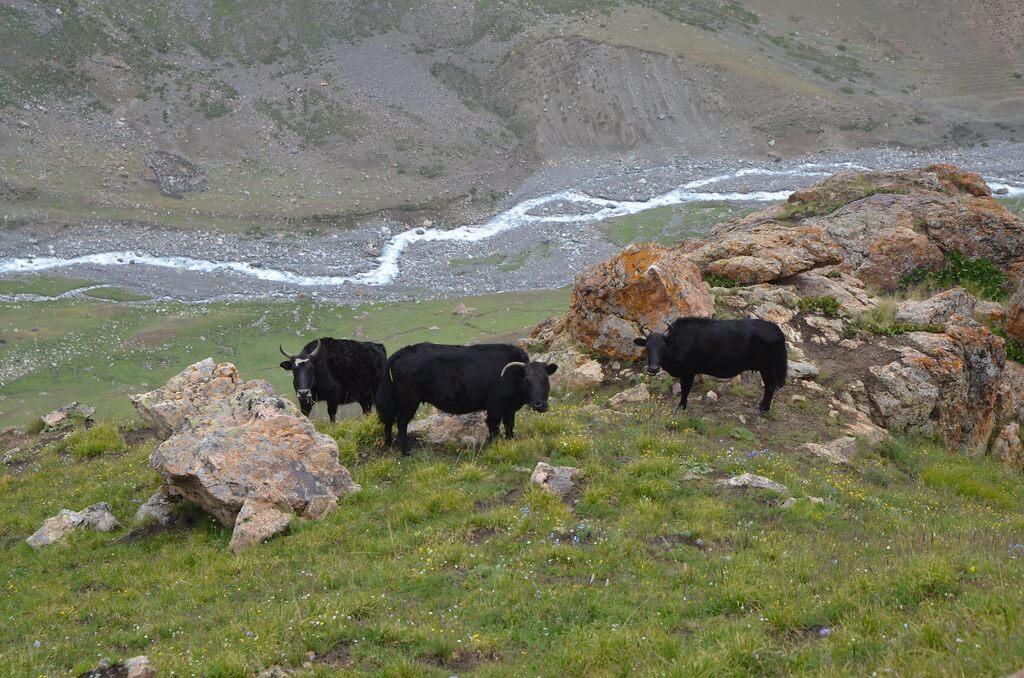
A tranquil backdrop of stunning alpine meadows and snow-capped mountains sets the tone for today's walk as we make our way to Azalan and tonight's camp at the base of Thalle La. We'll stop at distant shepherds' huts and enjoy a tasty midday lunch along the way, passing by herds of yaks and cows grazing in the lush meadows.
Day 09: Trek to Thalle La
Today's GPS Data Altitude: 4,572m
Time Required: 8-9 hours approximately
Ascent: 392m
Descent: 1362 m
We'll leave early this morning for the Thalle La Pass (4572m), where we hope to see some amazing views of the Haramosh Mountains to the west and the Siachen Mountains to the east. The long downhill trip then begins, amid a region of stunning alpine landscapes coated in wildflowers. The descent takes us through a dense juniper woodland before emerging onto the magnificent meadows surrounding Resarppi, where we spend the night in a tent.
Day 10: Trek back from Thalle La - Shigar
Today's GPS Data Altitude: 2,370m
Time Required: 5-6 hours approximately
Ascent: 0m
Descent: 840m
We continue our descent through the beautiful alpine fields this morning, crossing the Bangma River and then following a smoother shepherd's track to our lunch halt. After a well-deserved rest along the river, we continue on to our overnight stop at our quaint and historic heritage boutique hotel, which promises hot showers and some much-needed luxury.
Day 11: Explore Shigar
A day in and around Shigar allows you to unwind and explore the surroundings of our 17th-century Raja fort-palace. The Shigar Valley, located in Baltistan Province, is home to the Katpana Desert (the highest in the world) and the Chutron Hot Springs. A medieval hamlet tour, timeless mosques, a trip up to the remnants of the ancient fort of Kari Dong, and a chance to see some 7th-century Buddhist rock sculptures are among the other alternatives for today's adventures.
Day 12: Fly or Drive to Islamabad
We'll travel back to Islamabad this morning. After checking in, we can have lunch at a nearby restaurant before heading to Rawalpindi, the 'twin city'. Here, we'll visit the vibrant Raja Bazaar before heading to the Margalla Hills for breathtaking vistas of the twin cities.
If the flight is canceled due to inclement weather, we will drive down the Karakoram Highway (KKH).
Day 13: Drive to Taxila, then back to Islamabad
Today will begin with a leisurely breakfast and a short drive to Taxila, a fascinating Buddhist university town that dates back to Alexander the Great's Gandaharan Empire. After that, we'll return to Islamabad for our final evening.
If we're driving, we'll finish our trek down the KKH today.
Day 14: The Tour comes to an end in Islamabad
Today's excursion concludes in Islamabad after breakfast.
Holiday Overview
We quickly leave the hustle and clamor of the capital behind and go to the quiet and beautiful scenery of the Karakoram Mountains. We begin our adventure in the realm of ice giants, where the likes of Masherbrum (7,821), Gasherbrum I (8,080m), and K-2 (8,611m) form a spectacular backdrop to our first trekking base, after passing through the Khaplu Valley, our entrance into the Hushe mountains and beyond. Then we'll continue to the picturesque Thalle Valley for a stunning non-glacial 4-day journey across the Thalle La (4,572m) to Baltistan's historic Shigar Fort, passing through a breathtaking alpine landscape with magnificent views of the Shigar Mountains to the west and the Siachen Range to the east. This is one of our greatest trekking programs and a must for those looking for a more active way to enjoy the magnificence of Pakistan's mountains without embarking on a much longer or technically difficult expedition.


