Passu Sar Expedition
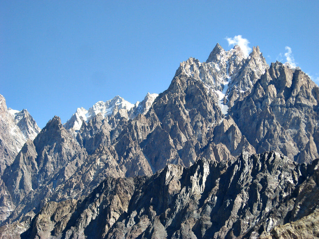
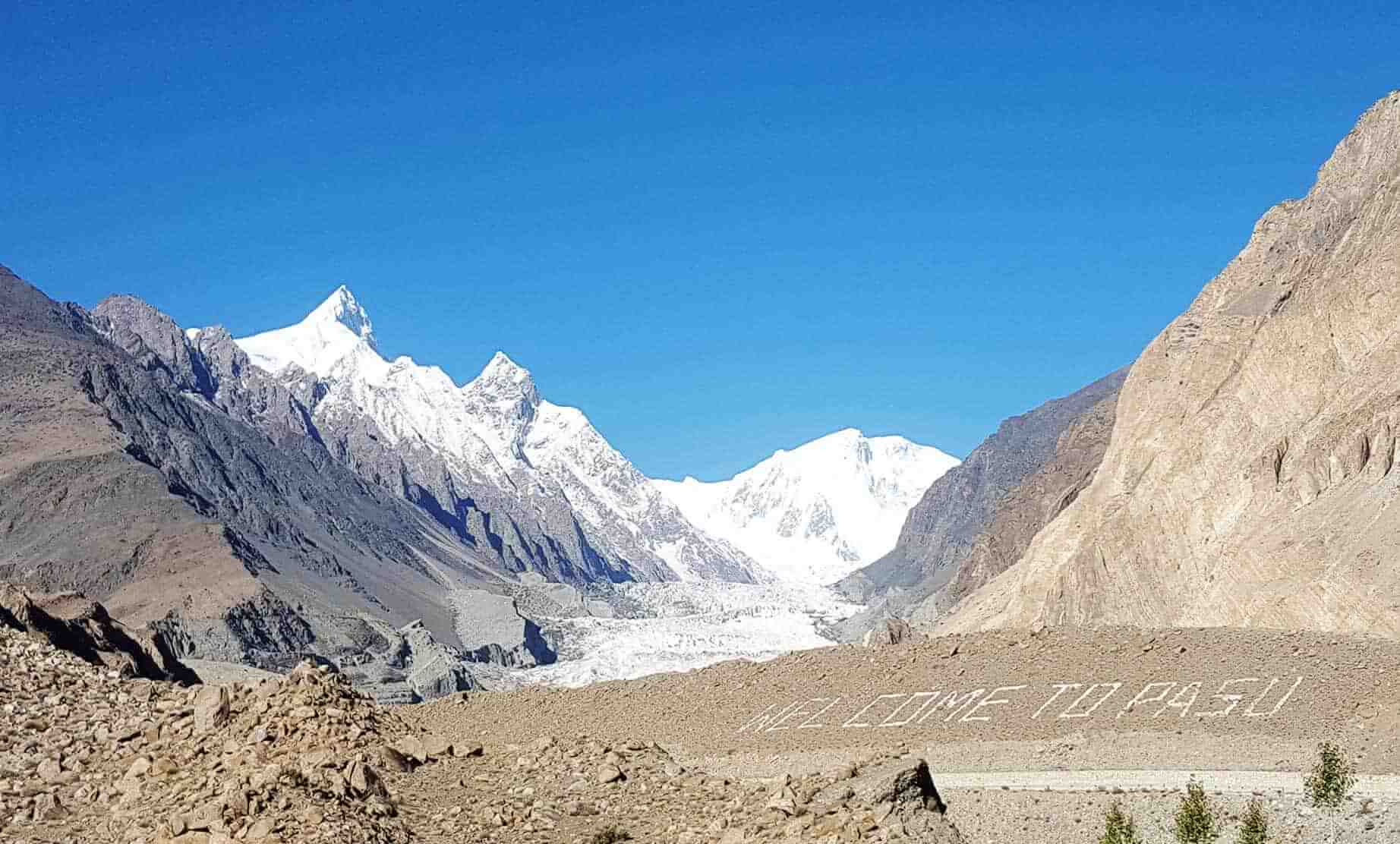
Passu Sar, commonly known as Passu Peak, is a beautiful mountain in the Karakoram Range's Batura Muztagh subrange. It is one of the region's significant summits, standing at an outstanding height of 7,476 meters (24,527 ft). The mountain is intimately related to the Passu Glacier, whose glacial expanse adds to the area's stunning splendor.
Passu Sar, the 38th-highest peak in the world and the 15th-highest in Pakistan is part of the Batura Muztagh subrange, which also includes Passu Sar and Batura Sar. Passu Village, located in Gilgit-Baltistan's scenic Gojal Valley, is the nearest village to the mountain. The nearby fast-flowing Hunza River adds to the appeal of the Passu Sar region. The peak can be found west of the Hunza Valley.
Trip Highlights
Highlights
- Competitive rates for a seven thousander summit in Pakistan's untamed mountains
- Field office and permanent personnel for logistics to and from the mountain
- The itinerary is based on indigenous knowledge and the extensive experience of our mountain guide
- Stunning mountain views during the expedition
- Silkroad Guides is a fully authorized indigenous adventure company.
- Our Pakistani High Altitude Climber(s) (HAC) generally guides fixed departures.
- Private groups are always a key priority for us.
- We offer guided trips as well as non-guided (alpine style) climbing.
- We offer "base camp services" and "full board services"
- Nepalese Sherpas are accessible on short notice (at least 6 months before arriving in Pakistan).
- The following High Altitude Support is available at an additional cost.
- Pakistani High Altitude Porter (HAP) - Will transport personal equipment weighing up to 20 kg between camps.
- Nepalese Private Sherpa (personal guide/porter) - Carries up to 20 kg (44 lbs) of your personal kit, climbs with you, melts water, cooks, and will be with you at all times.
- Personal equipment transportation – Sherpas transport up to 10kg (22 lbs) of personal equipment up and down the mountain between camps.
Itinerary
The Itinerary for Passu Sar Expedition is noticeable below
Day 02: Travel to Chilas
Today's GPS Data Altitude: 1,265 m
We will travel on the highway through Wah, Haripur, and Abbottabad. When we get to Mansehra, we shall take the Naran-Gilgit Road. We will travel through the Balakot, Naran, and Jalkhad valleys. We will pass through Babusar Pass and into Gilgit-Baltistan. We will descend from the pass and proceed on the Karakoram Highway to Chillas. We will check into a hotel in Chillas and spend the night there.
Day 03: Drive to Karimabad from Chilas
Today's GPS Data Altitude: 2,500 m
Distance: 240 kilometers.
Duration: 5-6 hours
On the way, stop at the intersection of three big mountain ranges, the Karakorum, Himalaya, and Hindukush, at Thalichi for photography from Nanga Parbat 8,126 m, and in Rakaposhi for photography and refreshment.
Day-04: Karimabad to Borith Lake & Luzdher
Today's GPS Data Altitude: 3,660m
Duration: Drive to Borith Lake for 1 hour + trek to Luzdher for 3-4 hours
Today we traverse the Passu white glacier, which has some crevasses and enormous stones at the beginning and end. Luzdher camp is located at the base of the Patundas meadows; while crossing the Passu glacier, especially at the beginning and conclusion, our valued clients must be roped up for safety reasons. There are no crevasses in the glacier's core. Views of Passu Peak, Shishper Peak, Ultar SAR, and Popdan Peak are available.
Day-05: Trek from Luzdher to Patundas Pass
Today's GPS Data Altitude: 4,100 m
Duration: 4-5 hours.
The intriguing location of upper Hunza is reached via a steep hike to Patundas, a meadow at the peak of a tiny hill. Patundas Meadows 4575 m is the highlight. Shisper 7611 m, Dastagil SAR 7785 m, Momhil SAR 7343 m, Rakaposhi 7788 m, and many more are visible from this vantage point.
Day-06: Trek from Patundas Pass to Passu Base Camp
Duration: 4 hours
Today you will trek from Patundas Pass to Passu Peak base camp.
Day 07-26: Ascent of Passu Sar
Duration: 20 days
We shall begin our ascent to the summit on this day and continue for the next 20 days. We will have backup days in case the weather improves. The Silkroad Guide Team will establish the Passu Sar Expedition's base camp and will continue to assist the expedition throughout the time frame.
Day-27: Trek from Passu Peak BC to Luzdhur
Today's GPS Data Altitude: 3,660m
After the successful Passu Sar Expedition, we retrace our steps back to Patundas Pass and continue trekking to Luzdhur.
Day-28: Trek from Luzdhur to Passugar
Today's GPS Data Altitude: 3,200m
Trek down to Passugar.
Day-29: Borith Lake and Karimabad
Today's GPS Data Altitude: 2,500m
Trek to Borith Lake before continuing on to Karimabad via Attabad Lake.
Day-30: Drive from Karimabad to Naran
Today's GPS Data Altitude: 2,409 m
Drive 355 kilometers to Naran across the Babusar Pass (4173 meters). Stop at several locations along the way for pictures and refreshments.
Day-31: Drive from Naran to Islamabad
Duration 5-6 hours
We shall go from Islamabad to Islamabad on this day. On the way, we'll stop at the Taxila Museum and ancient Buddhist sites from the Gandhara Civilization. We will then proceed to Islamabad, which is 45 minutes away from Taxila, for our farewell meal at Monal Restaurant.
Day 32: Fly back to your native country
Today's GPS Data Altitude: 540 m
Everything excellent must come to an end. This is the day when we say our final goodbyes to our guests and fellow members. This is the last day of the tour.
Holiday Overview
The Batura Muztagh, commonly known as the Batura Wall, is a subrange of Pakistan's Karakoram Mountains. The Karakoram Range is a massive mountain range that straddles both Pakistan and China, containing some of the world's highest peaks such as K2, Gasherbrum, and Nanga Parbat. The Karakoram Range, which stretches for around 500 km and is 200 kilometers wide, intersects with the Hindukush and Himalaya Mountains at several spots.
Max Wallner, Dirk Naumann, Ralf Lehmann, and Volker Wurnig led the first successful expedition to the summit of Passu Sar in 1994.
The allure of Passu Sar and the surrounding Karakoram peaks continues to draw mountaineers and adventure seekers from around the world looking to test themselves in the midst of this region's awe-inspiring grandeur.


