Pakora Pass
The Pakora Pass, at 4710 meters in elevation, is a thrilling entry point into the world of Karakoram trekking. This path, which connects the Naltar Gah and Pakora Gol valleys, offers a captivating combination of alpine meadows, a minor glacier, a reasonably high climb, and breathtaking views. This pass, accessible from Gilgit, is an excellent starting place for trekkers wishing to explore the Karakoram Range.
Itinerary
The Itinerary for Pakora Pass is noticeable below
Day 02: Drive to Besham
After breakfast, depart for Besham. We will stop for pictures and lunch at Chatar. Stay in a hotel for the night.
Day 03: Drive to Gilgit from Besham
After breakfast, travel 9-10 hours to Gilgit, stopping en route at the "Junction Point of World Great Mountain Ranges" Himalaya, Karakorum, and Hindukush, as well as the Killer Mountain "Nanga Parbat" viewpoint. O/N Stay at the hotel.
Day 04: Drive to Naltar
Morning sightseeing and shopping. In the afternoon, depart for Naltar, a 2-hour jeep ride up the Hunza River to its confluence with the Naltar River in Nomal hamlet. This is a forested hill station famed for its fauna and stunning mountain scenery between here and Naltar. From the campsite, you can see the Rakaposhi chain. Overnight stay in a camp/hotel.
Day 05: Upper Naltar to Naltar Lake
Walk up the true left (east) side of the Naltar Gah from Upper Naltar (2820m), also known as Dumian. Ford a side stream at the beginning of Beshgiri, the Shina term for the unique red lichen-covered (besh) stones (giri) east of the path in 134 hours. A two-day trek across the valley from Beshgiri heads southwest across a glaciated pass beneath Khaltar Peak (5591m) and descends the Bichhar Gah to Sherqila in Punial.
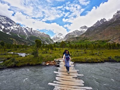
Pass through a magnificent forest of cedar, chir pine, and birch beyond Beshgiri. In 45 minutes, ford another side stream, which marks the beginning of Bangla, a place named for a 'bungalow' that used to be nearby. Cross a footbridge to the real right (west) bank of the Naltar Gah. Continue 45 minutes to the road's end and the first lake, Naltar Lake (3270m), and the Lake View Hotel, which comprises a shack for meal preparation and a large canvas tent with blankets for sleeping.
Day 06: Naltar Lake to Lower Shani
Skirt the lake and, in 15 minutes, cross a footbridge to the real left (east) side of the Naltar Gah. Two additional lakes appear up the western side Valley over a slight rise, and the river ahead braids out. Cross the Shing region in 45 minutes by walking down the river bed and fording a massive side stream that flows from the east. The Gujar village of Gupa stands along the river's true right (west) side where it narrows. The town is accessible through footbridges above and below Gupa, but the main trail stays on the true left (east) side. After an hour, cross a big side stream from the east to reach the glaciated Chaprot Pass between Snow Dome (5029m) and Mehrbani (5639m). Crossing the pass is impossible due to the hanging glacier on the west side of the pass and an even larger one on the east side. 15 minutes beyond the stream, high above the river, are the huts at Lath and the first view of the Shani Glacier's terminus.
The track gets faint as it skirts the Shani Glacier's northeast rim, reaching Lower Shani in one to 1½ hours as Pakora Pass comes into view. Shani means 'a pristine spot where fairies reside' in Shina, and flowers in meadows like these attract fairies. Lower Shani (3690m) is marked by a stream and grassy meadow, with herders' cabins near the glacier. Be cautious of the herders' dogs. The daunting Shani summit (5887m), located southwest across the Shani Glacier, is a difficult mixed snow and ice climb.
Day 07: Lower Shani to Pakora High Camp
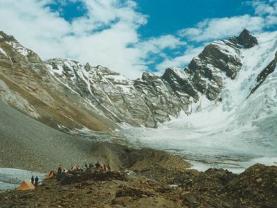
The hillside is covered in rhubarb and junipers, and the trail continues past cabins in 45 minutes, marking the beginning of Upper Shani. Go over the ridge above these cabins and quickly descend into the ablation valley. Cross a footbridge just above where the river enters the glacier. Continue your journey above the actual left bank because the river is too wide and deep to drive farther up. To the upper end of the flat alluvial ablation valley, walk 15 minutes along the river bed's true right side, with the pink and orange granite of the Shani Glacier's lateral moraine to your left. Upper Shani (3797m), one to 1½ hours from Lower Shani, is well-positioned in the shelter of the lateral moraine. Camp here if you aren't yet acclimatized. Cross the little side creek and ascend the steep, grassy, flower-carpeted slope where horses and yaks graze to reach Pakora High Camp. Continue through more difficult terrain until the slope flattens out. Follow the true right bank of the wide clear stream for a short distance to Pakora High camp (4230m), which is marked by a few ruined stone shelters and is one to eleven hours from Upper Shani. In this really attractive region, you can also camp just before the stone shelters on either side of the stream.
Day 08: Pakora High Camp to Jut/Uts
A side stream flows from the west behind the high camp, south of a big rock outcrop. One hour later, an obscure track follows this stream up steep, loose rock, passing a few cairns. There are many minor snowfields on the east side of the pass, as well as a big crevasse-free snowfield right below the peak. In 30 minutes, you'll have crossed the snowfield and arrived at the obvious Pakora Pass (4710m). Sentinel (5260m) is a relatively challenging alpine climb north of the pass.
The Pakora Pass is glaciated on the west side, but any crevasses are lower down. In 15 to 30 minutes, descend across the snowfield, working to the north (right) onto the apparent grey lateral moraine. Take a thin route down the lateral moraine for 30 minutes till it meets the Pakora Glacier (gomukh in Shina). Cross the breadth of the cold glacier in 30 minutes, heading west to reddish rocks.
There are two ways to cross the glacier. The main trail descends the valley to Pakora. The alternate path to Chatorkhand traverses the rarely used, glaciated Hayal Pass. Head west (left) from the Pakora Glacier's west side, 3km west of and 450m below Pakora Pass at 4230m, ascending the rock along the Hayal Glacier's north margin. The route is wrongly depicted on the Swiss map as branching off at Pakora Pass. Walk down the lateral moraine high above the Pakora Glacier's southwest border, which fills the upper valley, to reach Pakora. Continue for two hours on a thin track to Lal Patthar (3690m), so named in Urdu for the massive crimson boulder among the junipers. In Khowar, it's known as Krui Bokht. The boulder provides shade for porters, and there are a few potential tent sites nearby, but the sloping mountain and distant water make this an unappealing Camp.
Cross a side creek in a steep ravine beyond Lal Patthar. Continue down the valley for one hour on a pine-needled trail through a lovely, dense forest of birch, pine, and juniper before crossing a footbridge (3750m) to the Pakora Gol's actual right bank. The footbridge is difficult to notice from the trail. Continue down the river bed for a few minutes to the footbridge where the trail meets the river. (Do not take the obvious 50-meter-high trail.) Following the river, the narrow trail climbs up a forested plateau to the Gujar huts named Jut/Uts (3390m), where horses, cows, lambs, and goats graze, 1½ hours from Lal Patthar. Jut means 'grassy location' in Burushaski and uts and means'spring' in Khowar.
Day 09: Jut/Uts to Pakora
As the canyon narrows, the fall from Jut to Pakora becomes steeper. On bright days, the Pakora Gol can be hot and dry, so start early and bring water.
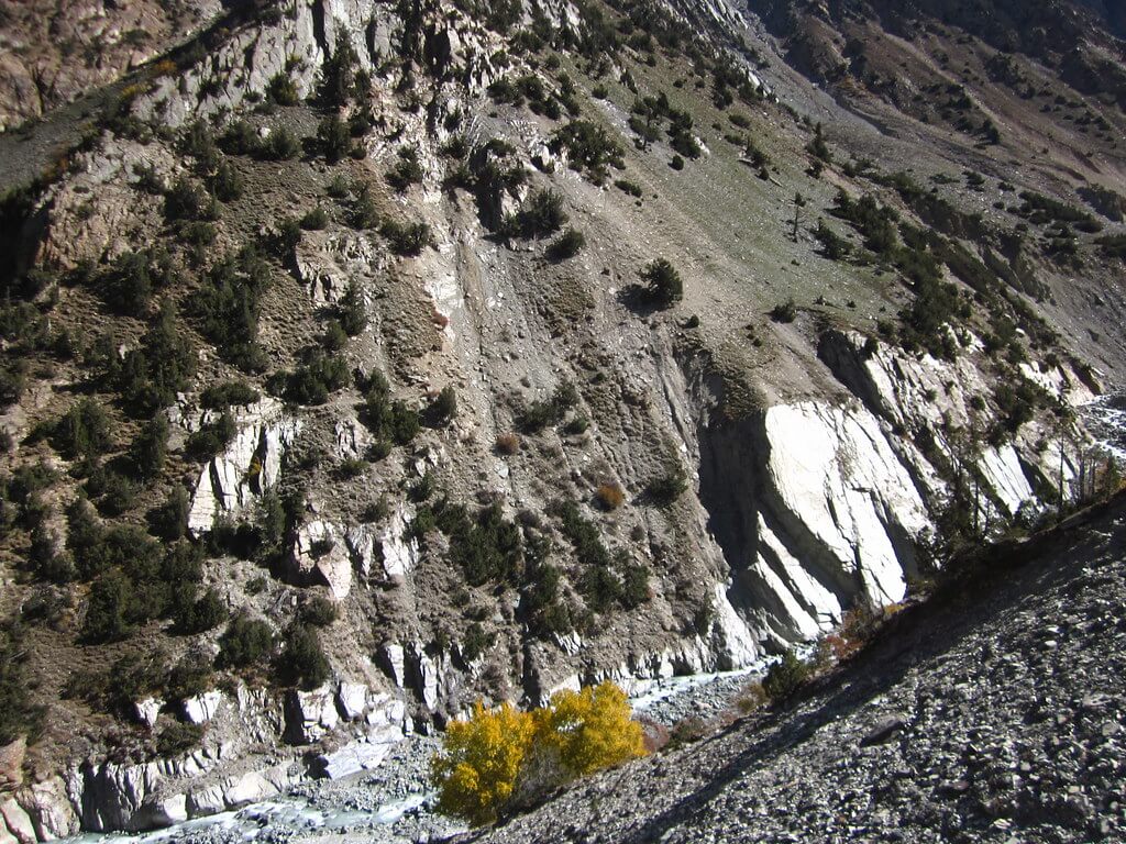
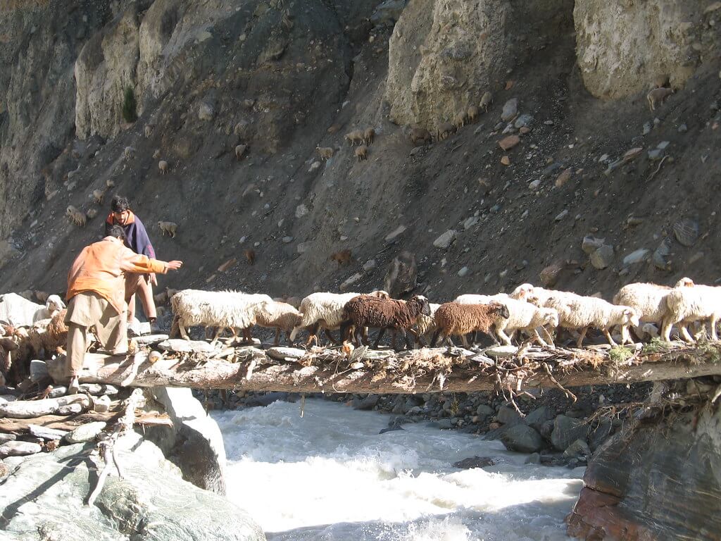
Descend from the far end of the meadow and cross the river on a nice footbridge. The trail is in poor condition and follows the true left (south) bank of the river for one hour, low down the river bed, passing beneath the Gujar towns of Gujarshal and Roghshal high above. Across the river, Kuru, a hamlet located above the junction of the Kuru An Gol and the Pakora Gol, may be seen. A path up this side stream goes to the Kuru An. The trail down the valley follows the actual left side of the Pakora Gol, curving an artemisia-covered hillside on a wide donkey trail. It is often found on exposed galleries far above the surging river. The river enters a deep gorge, with waterfalls cascading down both sides. In 112 hours, you'll reach a side stream and a big, solitary willow. In 30 minutes, cross a plank footbridge to the true right bank to reach the first cultivated Pakora farms. The jeep road and the center of Pakora (2220m) may be reached in 15 minutes.
Holiday Overview
The surrounding environment is dominated by the massive Shani and Sentinel peaks, attracting climbers looking for exciting challenges. You will get the opportunity to immerse yourself in the local culture and language while traveling through this region. Shina is the native language of Naltar, while Khowar is the preferred language in Pakora.
The Pakora Pass is normally traversed from east to west, and it effortlessly connects to other adjacent passes like as the Asumbar Haghost. For those looking for a longer experience, this pass can be combined with the Punji Pass or Thui An, resulting in a stunning two-week excursion spanning three spectacular passes. The Pakora Pass trip promises an amazing experience, with spectacular panoramas, cultural contacts, and the opportunity to visit Pakistan's intriguing Karakoram region.


