Snow Lake Trek
While the Snow Lake treks are regarded as difficult, crossing Hispar La does not require any technical or mountaineering expertise. Instead, it entails a high-altitude trek across Snow Lake and Hispar La. The height gain is modest, and good acclimatization is required to make the trek easier.
Participants should expect to traverse an average distance of 6 to 8 miles every day, which takes approximately 5 to 6 hours. The majority of the track is rocky and gravel, with the exception of glacier areas where participants will walk.
Trip Highlights
- Hispar La Pass (5,149m).
- Snow Lake - high altitude glacial basin - 16kms wide (also known as Lukpe Lawo
- Trek along Biafo Glacier (3rd longest outside polar region) and Hispar glacier
- Circular trek to scenic Hunza Valley from Braldu Valley
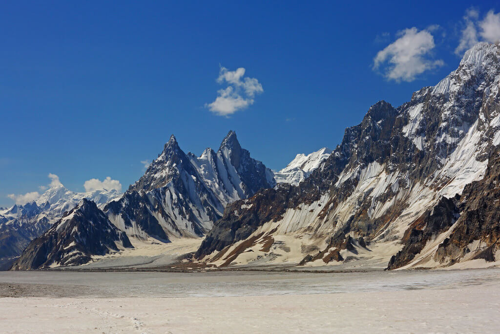
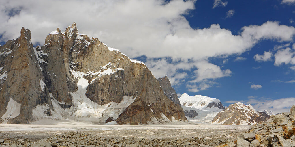
- Views of dozens of peaks between 5,000m to 8,000m including Latok group, The Ogre, Kanjut Sar, Kunyang Chishh, Pumari Chhish, Disteghil Sar, Trivor Sar, Lupghar Sar, Sosbun Brakk, etc.
- Views of Glaciers (e.g. Kani Basi, Kunyang and more) , glacial lakes, waterfalls and streams
- Meadows of Falaling Chhish
- Karakoram Highway
- Cultural tour of Hunza Valley
- Sightseeing in Skardu and Islamabad
Itinerary
The itinerary for the snow lake trek is given below.
Day 02: Fly to Skardu in the Karakoram.
Today’s GPS Data Altitude: 2,498 metres.
Participants will take a beautiful trip from Islamabad airport to Skardu airport this morning. If the clouds cooperate, you will be able to view Nanga Parbat. The day is free after arriving at Skardu. In the event of a flight cancellation, spend the night in Chilas.
Day 03: Enjoy a free day in Skardu.
Today's GPS Data Altitude: 2,498 meters.
After breakfast, the participants will go to Skardu's Kharpocho Fort, which is positioned on a mountain. The Kharpocho Fort offers a spectacular view of the Indus River and Skardu town. Participants will also have the option of taking a tour of Sadpara Lake, followed by free time in Skardu Bazaar.
During the sightseeing, our personnel will take care of any further government paperwork that is required in Skardu. This can take up to two days. We have contingency days planned at the conclusion of the walk-in in case of delays.
Day 04: Drive to Askole village (3.015)
Today GPS Data Altitude: 3,015 meters.
The participants will begin their jeep safari in the direction of Daso, passing via the Shigar Valley. The journey will take place along the banks of the Braldu River, which runs all the way to Askole. Askole will be the final settlement on our itinerary; after exiting the jeeps, participants will begin walking. However, depending on the road conditions, participants may begin their walk before arriving in Askole. The distance will take you between six and eight hours to complete.
Day 05:Trek to Namla (3,571m)
Today's GPS Data Altitude: 3,571 m
Duration: 7-8 hours
The route begins by following the K2 Base Camp trail before turning west onto the Biafo Glacier. The trail climbs over a shoulder to reach the left moraine, then descends to the glacier before returning to the left bank, where the grassy camping site known as Namla is hidden behind a lateral moraine.
Day 06: Trek to Mango (3,715m)
Today's GPS Data Altitude: 3,715m
Duration: 5-6 hours
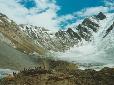
We approach the glacier's middle after crossing a fracture zone and following moraine ridges; underfoot is loose rock, making this a difficult day. We established up camp on the Biafo's left bank in a grassy spot.
Day 07: Trek to Baintha (4,041m)
Today's GPS Data Altitude: 4,041 meters.
Duration: 5-6 hours
The path continues up the glacier's center on a huge ice highway, making the walking easier than it was yesterday. We make a right and exit the glacier onto a grassy area where Baintha camp is located.
Day 08: Rest and acclimatisation (4,041m)
Today's GPS Data Altitude: 4,041 meters.
This is a relaxation day for you and the porters to help you adjust to the high altitude. You can relax in camp or, if you're feeling active, hike up a ridge behind camp for spectacular views of the Latok group and The Ogre. Keep an eye out for Ibex, which can often be seen on the grassy slopes above.
Day 09: Trek to Morfogoro (4,298m)
Today's GPS Data Altitude: 4,298 meters.
Duration: 5-6 hours
The trail to the glacier is steep and loose, but once there, we follow the flat glacier, which makes for reasonably easy walking. There are some crevasses further along the glacier to be wary of, and depending on the conditions, we may rope up to protect our progress. There are spectacular views of many peaks, including The Ogre (7,813m), and we will also get our first glimpses of the Hispar La and Snow Lake.
Day 10: Trek to Hispar La Base Camp (4,585m)
Today's GPS Data Altitude: 4,585 meters.
Duration: 5-6 hours
Today we travel to the southern edge of Snow Lake, a big snowy flat area with a network of crevasses. Snow Lake is a 16km wide high altitude glacial basin at the confluence of the Biafo and Hispar glaciers. Snow Lake was named by Martin Conway, the first foreign visitor, in 1892, and he described it as "beyond all comparison the finest view of mountains it has ever been my lot to behold, nor do I believe the world can hold a finer."
Day 11: Cross Snow Lake and walk to Hispar La (5,149m)
Today's GPS Data Altitude: 5,149m
Duration: 5-6 hours
Today we travel across the enormous Snow Lake area and ascend to Hispar La. The ascent to Hispar La is not too steep, but it always feels tough at this height; we must also be cautious of the crevasses in this area. The views from Hispar La are spectacular, with one side gazing down Biafo glacier to Snow Lake and The Ogre and the other side looking down Hispar glacier to Hunza peaks.
Day 12: Trek to Kani Basa (4,468m)
Today's GPS Data Altitude: 4,468 meters.
Duration: 6-8 hours
We descend from Hispar La after an early start, through a crevassed region before the glacier flattens out. We must cross the Kani Basa glacier, which is a fault zone where two glaciers meet. Soon after, we arrive at our camp, which is set in a grassy ablation valley with great views of Kanjut Sar (7,760m).
Day 13: Trek to Jutmal (4,168m)
Today's GPS Data Altitude: 4,168m
Duration: 6-7 hours
This is a difficult day since we have to navigate a number of moraine ridges, ascend a loose scree slope, and cross many glacier streams. Jutmal camp is located on a grassy meadow along the glacier's edge.
Day 14: Trek to Bitanmal (3,765m)
Today's GPS Data Altitude: 3,765 meters.
Duration: 7 to 8 hours
After an hour, we drop down a steep bank to cross another side glacier before returning to the valley where the walking is excellent. The Bitanmal camp is located in a vast meadow that is frequently utilized by herders from Hispar village.
Day 15: Trek to Falaling Chhish (3,605m)
Today's GPS Altitude: 3,605 meters.
Duration: 4 hours
We cross the last side glacier, the Kunyang Glacier, then go up a rocky trail and cross a creek to reach the Falaling Chhish meadows.
Day 16: Trek to Hispar Village (2,297m)
Today's GPS Data Altitude: 2,297m
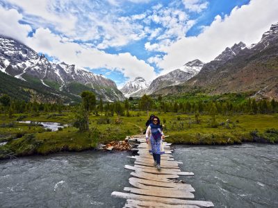
We cross a bridge from our camp at Falaling Chhish to Hispar village. After the black-and-white scenery of the Hispar Glacier, you will undoubtedly notice the brilliant green of the orchards and terraced fields. Depending on the condition of the road, we may meet our jeeps in the village; if the road is damaged, we may have to walk a little further before taking a short drive to our final camp on our trek.
Day 17: Drive to Karimabad (2,440m)
Today's GPS Data
We ride a jeep for a couple of hours to Nagar village before reaching the Karakoram Highway on a pretty small track. We drive to Karimabad and settle into a hotel, with the rest of the day free to wash up, relax and tour the town.
Day 18: Make-up day/sightseeing
This day is set aside for any potential trekking delays. We do not want any of our visitors to miss a domestic flight owing to delays. These delays can be caused by a variety of circumstances, including (but not limited to) road construction. This time can be used to explore the Hunza Valley.
Today we have the opportunity to see Karimabad, an intriguing town stunningly placed on a hillside to the north of the road with views of the rich valley below (thanks to their huge irrigation system) and glimpses of snowy mountains. We will visit the 13th-century forts of Alti and Baltit. The Baltit fort, originally the home of the governing Mir, defends the valley and is now a museum, while the Alti fort is even more impressive, poised above the Hunza River. We drive to Gilgit in the afternoon.
Day 19: Travel to Islamabad by plane.
Today's GPS Data Altitude: 538 m
On this day, the participants will fly from Gilgit airport to Islamabad Airport. You will have a pleasant time relaxing at the Islamabad Hotel.
Domestic flights are occasionally canceled due to weather conditions. If your flight is canceled, you will spend the night in Naran or Besham. A vehicle takes eight hours.
Day 20: Make-up day for flight cancellations
Today's GPS Data Altitude: 538 meters
This day is set aside for any potential delays if the domestic flight does not operate the day before. Our guests will travel from Chilas to Islamabad in the early morning, which could take up to 10 hours. However, if the players make it to Islamabad on the domestic flight, it would be a free day. This time could be spent sightseeing in Islamabad.
Day 21: Fly back to your home country.
Meals for this day included: Breakfast
Our personnel will transport all of our customers to the airport at their scheduled departure times. All of our partner hotels have a 12pm check-out time.
Holiday Overview
The Snow Lake Trek is an enthralling trip set in Pakistan's magnificent mountains. This difficult walk takes you through stunning scenery, including the mesmerizing Snow Lake and the legendary Hispar La pass. While technical climbing abilities are not required, acclimatization to high altitudes is essential. The hike offers a steady ascent, allowing trekkers to take in the breathtaking scenery. Expect to go 6 to 8 miles per day, navigating varied terrain that includes rubble, stones, and breathtaking glaciers. Experience the raw beauty of the Snow Lake Trek on this amazing excursion.
The Snow Lake Trek is both a physical challenge and a cultural immersion opportunity. Along the trip, you'll come across local towns and enjoy their warm hospitality, learning about the rich traditions and way of life in this distant region.
The Snow Lake Trek is a true test of endurance, tenacity, and a thirst for adventure. It bestows lasting memories, a sense of accomplishment, and a strong connection with one of the world's most fascinating alpine environments on trekkers.


